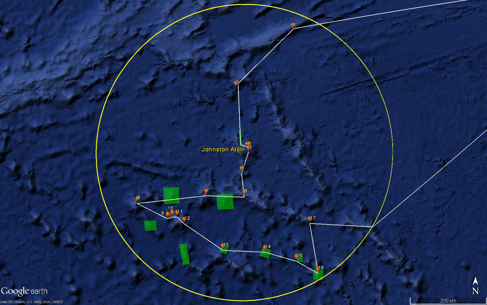
Expedition Map
Image courtesy of the NOAA Office of Ocean Exploration and Research, 2017 Laulima O Ka Moana.
Map showing the general cruise plan for the Johnston Atoll exploration portion of the expedition. The white line is the general cruise track, and the orange dots are the locations of planned ROV dives, numbered in planned dive site order. The green boxes are the locations for targeted overnight mapping operations.
Download larger version (jpg, 816 KB).
