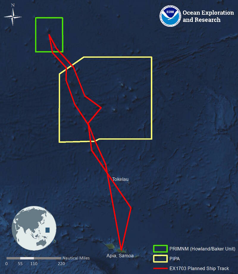
Map showing the general expedition operating area. The red line is the rough cruise track to and from the Pacific Remote Islands Marine National Monument (PRIMNM) during the expedition. The yellow outline is the Phoenix Islands Protected Area. The green outline denotes the boundaries of the Howland and Baker Unit of the PRIMNM.
Expedition Operating Area
Image courtesy of NOAA Office of Ocean Exploration and Research. Download larger version (jpg, 344 KB).

Map showing the general expedition operating area. The red line is the rough cruise track to and from the Pacific Remote Islands Marine National Monument (PRIMNM) during the expedition. The yellow outline is the Phoenix Islands Protected Area. The green outline denotes the boundaries of the Howland and Baker Unit of the PRIMNM.

Learn more