
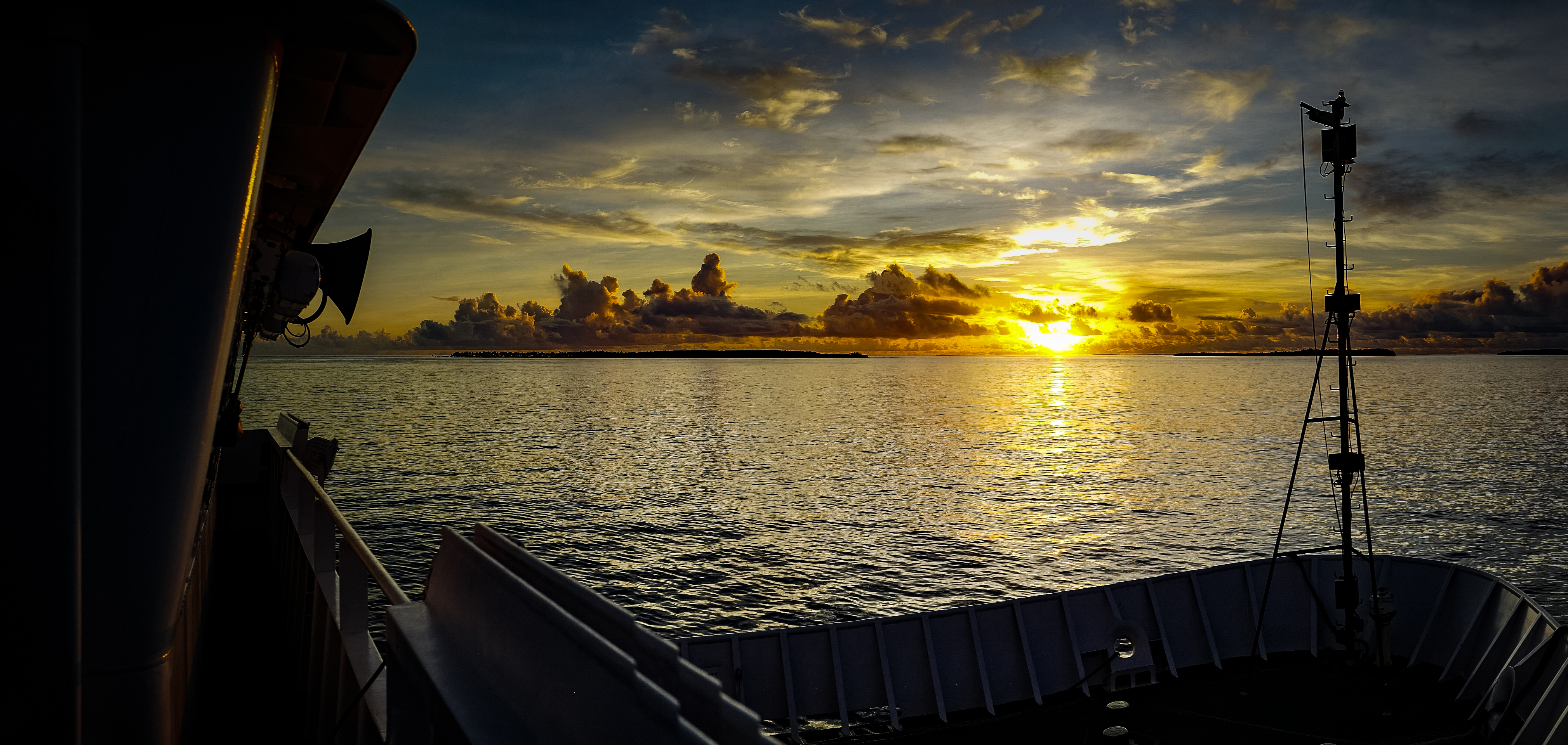
Sunrise seen from the bridge wing of the Okeanos Explorer. Image courtesy of the NOAA Office of Ocean Exploration and Research, Deepwater Wonders of Wake. Download larger version (jpg, 4.8 MB).
Sunrise seen from the bridge wing of the Okeanos Explorer. Image courtesy of the NOAA Office of Ocean Exploration and Research, Deepwater Wonders of Wake. Download larger version (jpg, 4.8 MB).
We spent the last two days transit mapping our way to Kwajalein Atoll in the Marshall Islands. While we were primarily transiting, we had enough time in the schedule to tailor our route to map a seamount chain that had never been mapped before. The ROV and Data engineers used the transit days to get ahead on the demobilization checklist and end-of-cruise wrap-up, while the mapping team had the extra work of staffing mapping watches 24 hours a day instead of just an overnight watch like they had been doing for most of the cruise.