Exploration Map
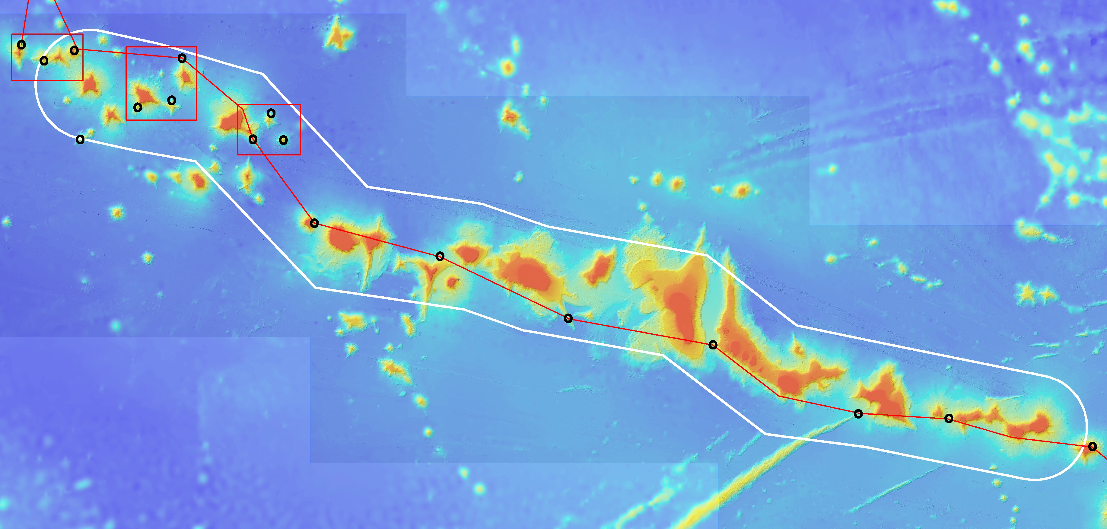
Image courtesy of the NOAA Office of Ocean Exploration and Research, created from a synthesis of existing multibeam mapping data by Dr. John R. Smith of the University of Hawaii.
The project area to be explored within and around Papahānaumokuākea Marine National Monument (white boundary) with possible dive sites.
Download larger version.
 with possible dive sites.")