
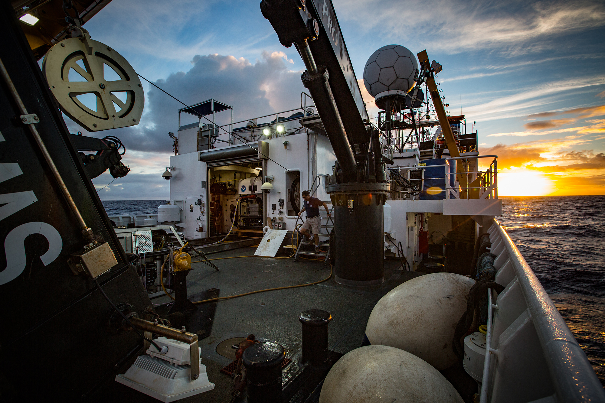
NOAA Ship Okeanos Explorer transits to Johnston Atoll—mapping its way off into the sunset. Image courtesy of the NOAA Office of Ocean Exploration and Research, 2015 Hohonu Moana. Download larger version (jpg, 2.2 MB).
NOAA Ship Okeanos Explorer transits to Johnston Atoll—mapping its way off into the sunset. Image courtesy of the NOAA Office of Ocean Exploration and Research, 2015 Hohonu Moana. Download larger version (jpg, 2.2 MB).
Okeanos Explorer spent yesterday and today transiting to the primary operating area for Leg 4, the Johnston Atoll portion of the Pacific Remote Islands Marine National Monument. During our transit, we conducted mapping operations, collecting high-resolution data from our three sonars. The rest of our mission team spent the day training new personnel, catching up on data products, and planning for the rest of the expedition with our shore-based team.