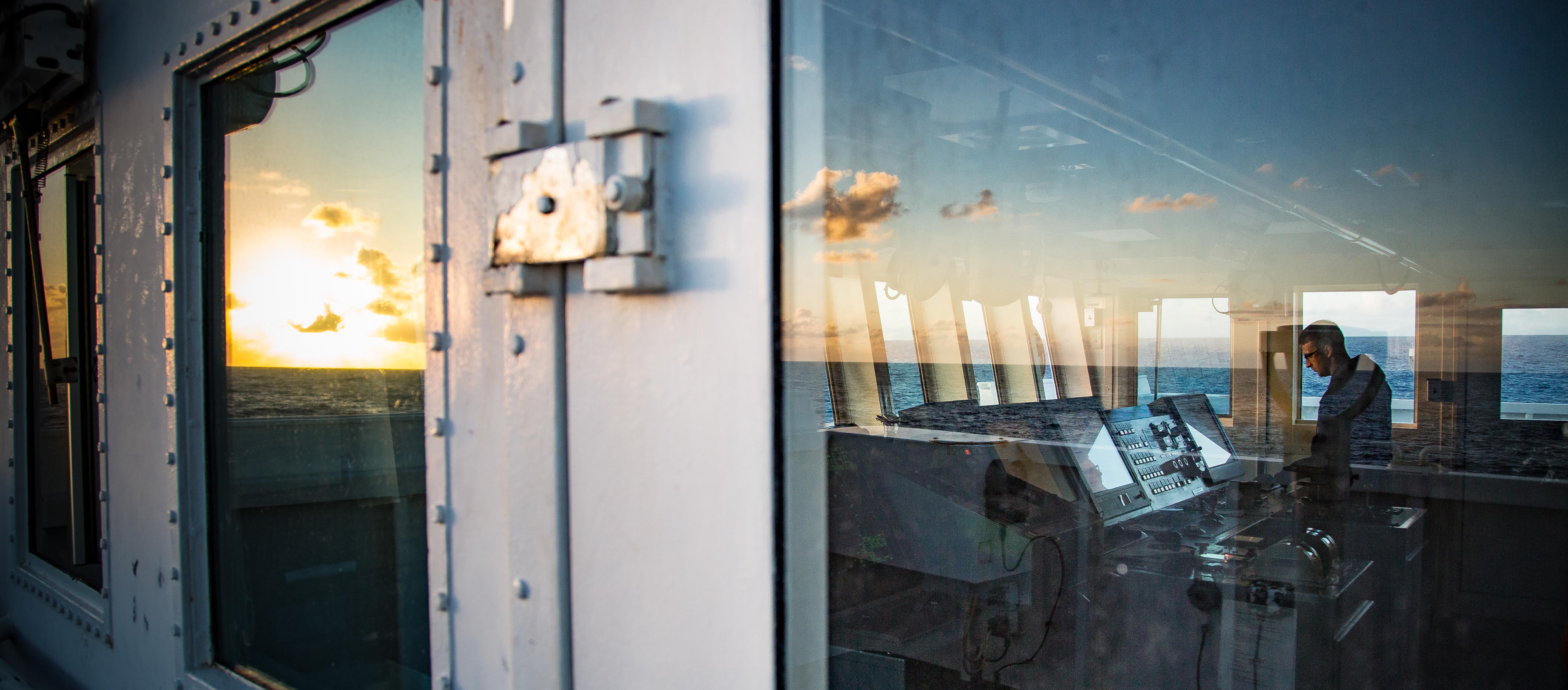
Today was a transit day as the ship continued a transit more than 330 nautical miles to the south-eastern section of Papahānaumokuākea Marine National Monument where a dive will be conducted tomorrow on a seamount to the east of Necker Island. Whenever NOAA Ship Okeanos Explorer is underway, the ship is nearly always collecting data of unknown and poorly known areas. Seafloor and water column data were collected during today’s transit with the ship’s EM302 multibeam sonar, EK60 single beam fisheries sonar, and Knudsen 3260 subbottom profiler. Our transit lines were planned to collect mapping data that adds or fills in “holidays” or holes to existing mapping coverage in the region. While the mapping team was busy with data acquisition and processing, other onboard personnel used the transit day to catch up on reports, make adjustments to the ROV, and plan for the next cruise leg of the expedition.
