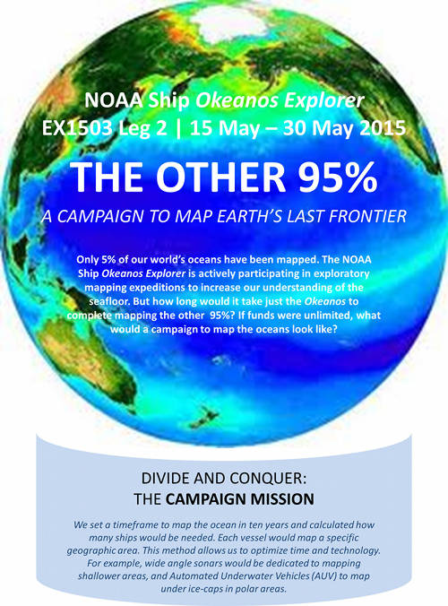
We set a timeframe to map the ocean in ten years and calculated how many ships would be needed. Each vessel would map a specific geographic area. This method allows us to optimize time and technology. For example, wide angle sonars would be dedicated to mapping shallower areas, and Automated Underwater Vehicles  to map under ice-caps in polar areas.
How Many Ships?
Image courtesy of NOAA Office of Ocean Exploration and Research, Tropical Exploration 2015. Download larger version (jpg, 731 KB).

We set a timeframe to map the ocean in ten years and calculated how many ships would be needed. Each vessel would map a specific geographic area. This method allows us to optimize time and technology. For example, wide angle sonars would be dedicated to mapping shallower areas, and Automated Underwater Vehicles to map under ice-caps in polar areas.

Learn more