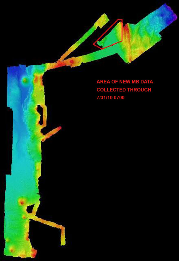
Okeanos Explorer spent the day mapping, acquiring high-resolution multibeam data in the northeast of our approved area of operation. Multibeam mapping operations during Leg 3 operations have typically taken place in the evening and through the night, with ROV operations during daylight hours. Today the ship focused on mapping, acquiring data over the two ridges in the northeast area of our approved area of operation. So far during the INDEX SATAL 2010 Expedition, the Okeanos Explorer has mapped in high-resolution more than 25,000 square kilometers of Indonesia's seafloor. This area is nearly equivalent to the U.S. state of Vermont, or more than 1.5 times the size of north Sulawesi.
