Image courtesy of National Park Service via Guam: A Biogeographic and Maritime Cultural Landscape Exploration of a WWII Amphibious Battlefield. Download largest version (jpg, 4 MB).
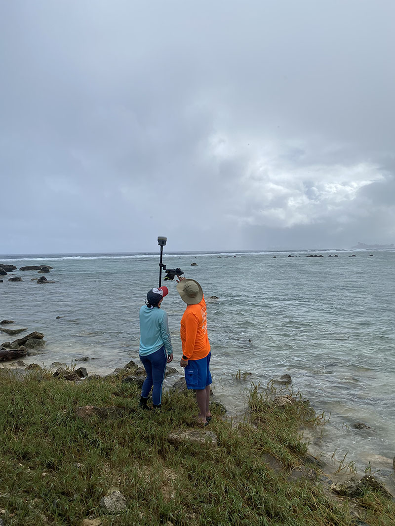
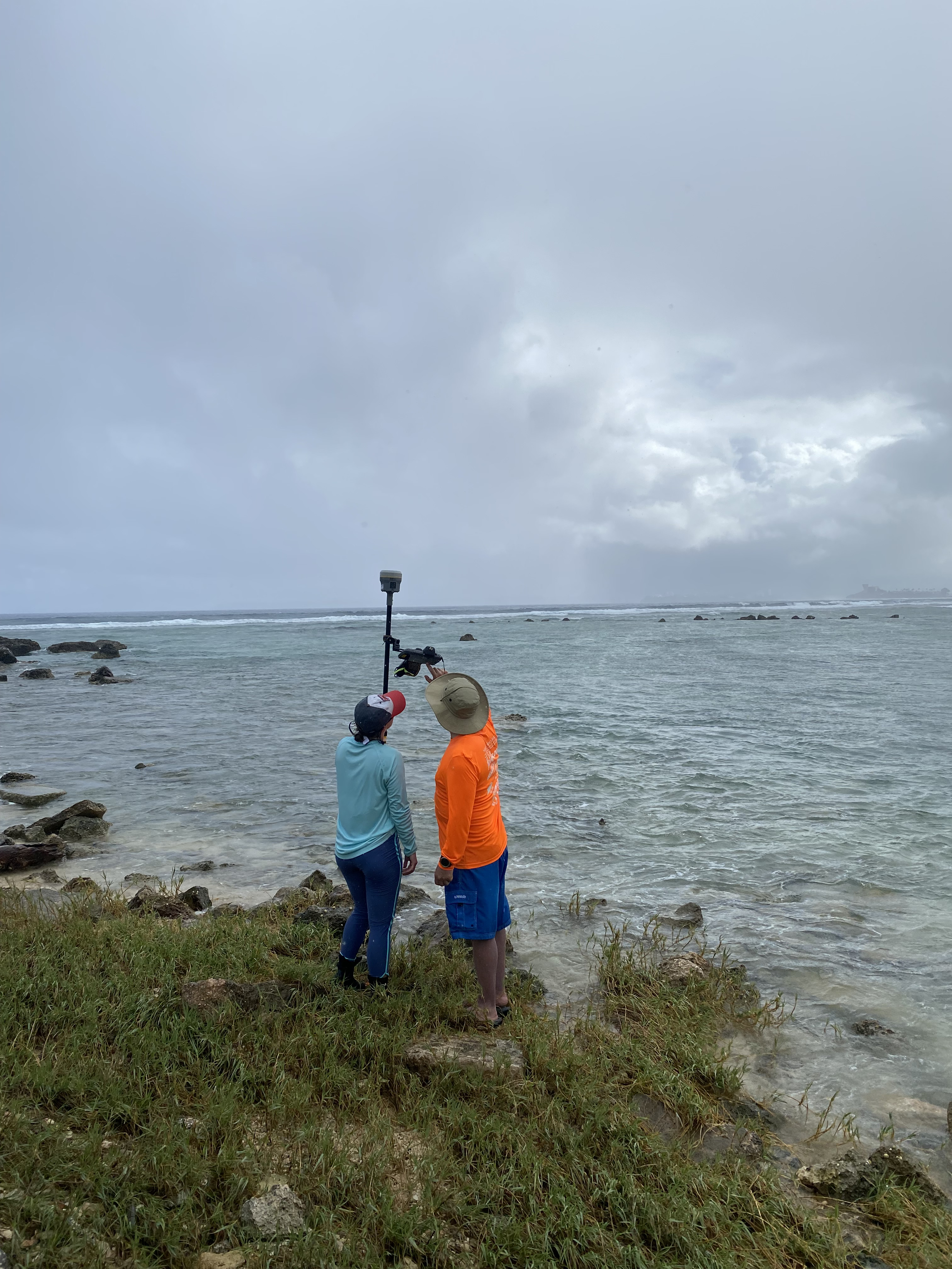
Tahzay Jones instructing Olivia Helinski on how to collect data using Global Navigation Satellite System equipment to capture the vegetation line along the coast at the Asan unit of War in the Pacific National Historical Park.