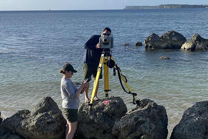
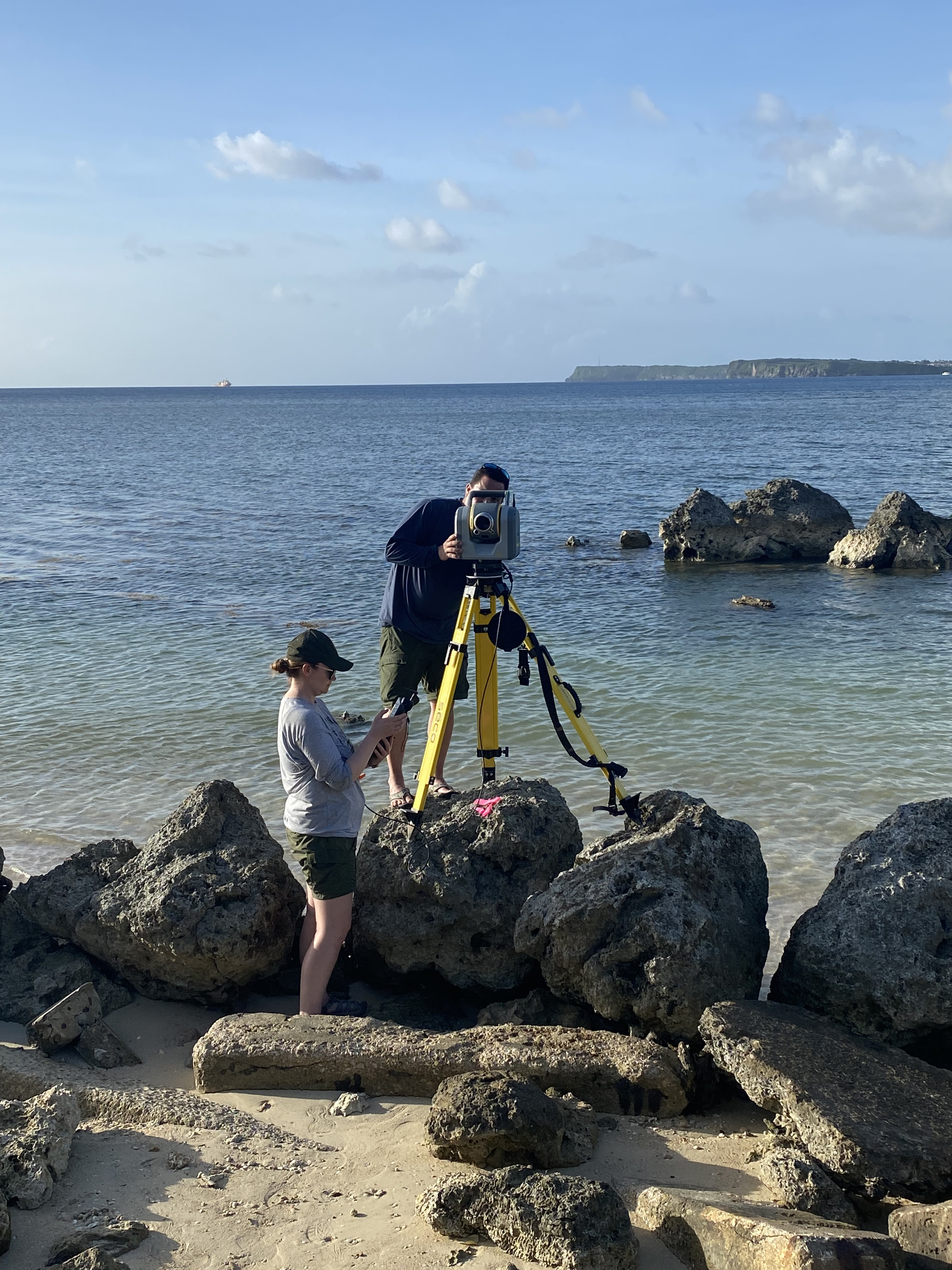
Image courtesy of National Park Service via Guam: A Biogeographic and Maritime Cultural Landscape Exploration of a WWII Amphibious Battlefield. Download largest version (jpg, 3.9 MB).
Anne Wright and Tahzay Jones preparing a Trimble SX10 scanning total station to collect high-density, high-accuracy elevation data along the coastline in the Agat unit of War in the Pacific National Historical Park.