Image courtesy of National Park Service via Guam: A Biogeographic and Maritime Cultural Landscape Exploration of a WWII Amphibious Battlefield. Download largest version (jpg, 4.55 MB).
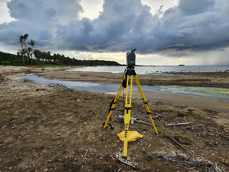
A Trimble SX10 scanning total station used to collect elevation data. Photo is looking eastward showing the new configuration of the river mouth and delta after Typhoon Mawar.