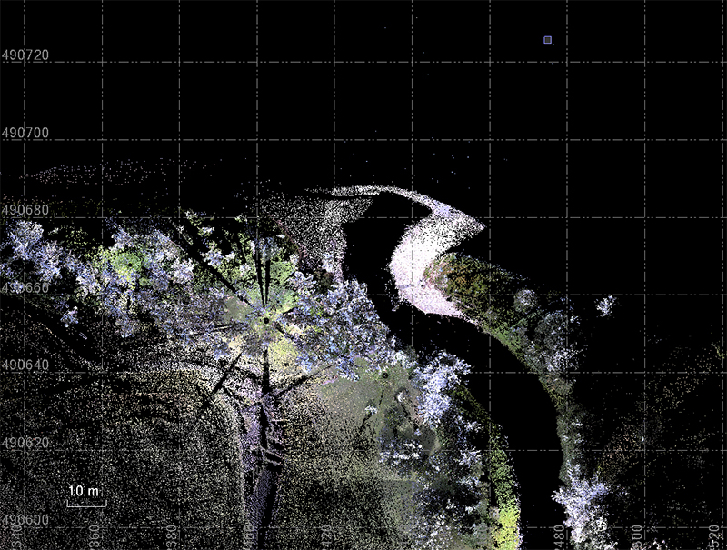
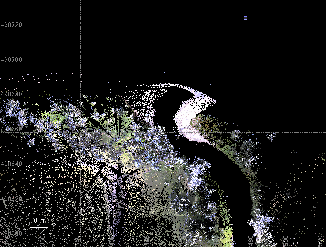
Point cloud data collected with a Trimble SX10 total scanning station of the mouth of Guam’s Asan River in February 2023. Comparison of the two datasets shows that the river has been redirected eastward and a delta has formed at its mouth as a result of Typhoon Mawar.