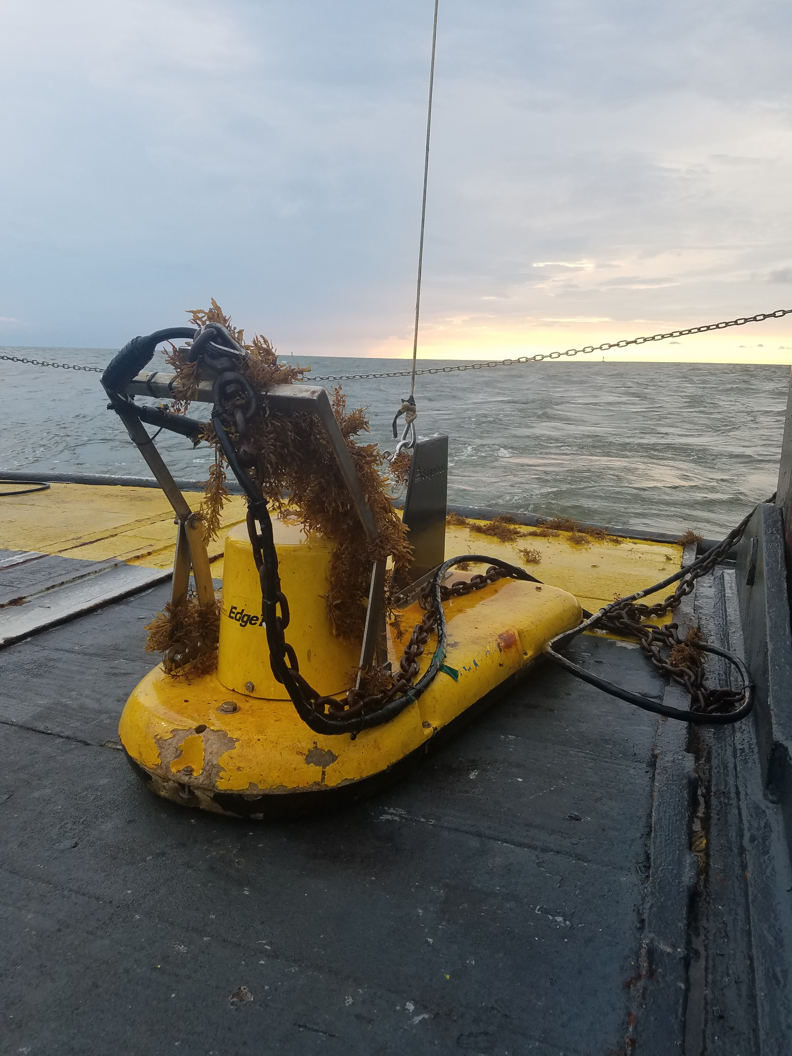
Covered in seagrass, the chirp subbottom profiler sits on deck following completion of a survey grid.
