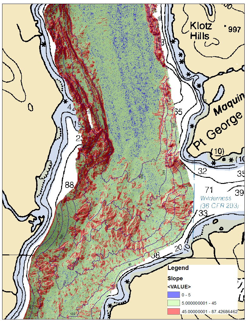
Slope data is displayed in the GIS instead of the color-symbolized bathymetry. Slopes greater than 45 degrees are displayed with red coloration.
