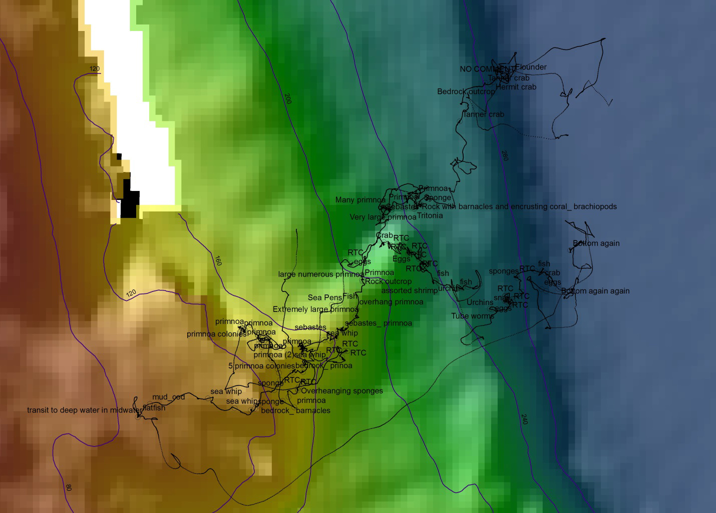
This map shows the ROV track (black dotted line) overlaid on the map in the GIS. Observations of geology and fauna were logged during the dive and those observations are shown on the map as hollow black circles with the observation comment.
 overlaid on the map in the GIS. Observations of geology and fauna were logged during the dive and those observations are shown on the map as hollow black circles with the observation comment.")