
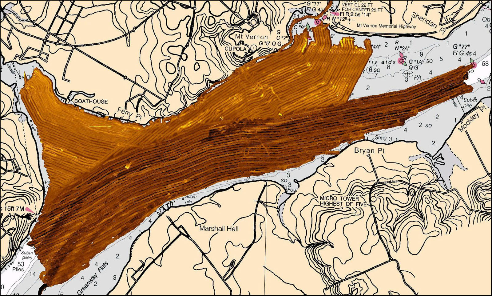
This image is the result of a survey conducted by LAMP and the Institute of Maritime History in the waters off Mt. Vernon, George Washington’s home. All of the sidescan sonar images produced by the survey have been mosaicked together using geographic position data from the GPS. Mosaics give us a seamless view of the entire area of seafloor scanned with the sonar, and let scientists know exactly what area we have successfully covered. This map was produced with SonarWiz.MAP software.