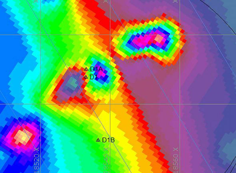

This magnetic contour map shows some of the magnetic anomalies at Target 1, Drop 1. The previous crew tested Drop 1B (denoted in this map as D1B) on 10 August, but we have decided to test further at D1, which is only three meters south of the actual location of our buoy (D1A). D1 is situated between areas of high and low readings, shown in colors on this contour map, and is likely to be close to the source of this anomaly. Brendan Burke and Olivia McDaniel tested the area around D1 and D1A today.