|
|
|
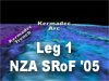
Kermadec Arc
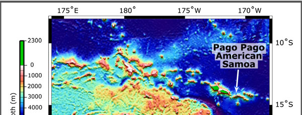
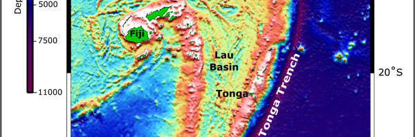
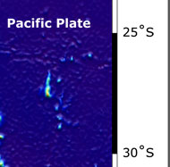
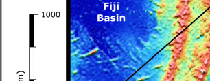
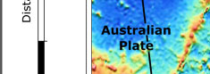
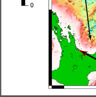
Explore the volcanoes of the New Zealand American Submarine Ring of Fire 2005 (NZA SRoF '05) expedition. Bathymetry used to create the fly-throughs and images is compiled from two data sets:
- The high-resolution EM300 bathymetry data are proprietary, courtesy of New Zealand National Institute of Water and Atmospheric Research (NIWA). Data resolution is ~25 meters.
- The low-resolution background bathymetry used in some fly-throughs and overall maps are courtesy of Smith and Sandwell, 1997. [Smith, W. H. F. and Sandwell, D. T. (1997). Global seafloor topography from satellite altimetry and ship depth soundings. Science, 277:195-196.] Satellite altimetry data resolution is ~3500 meters.
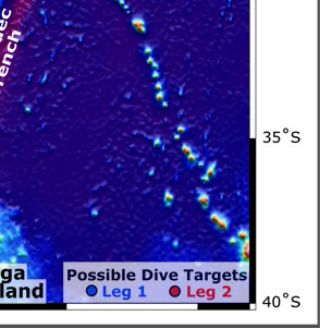
The Kermadec Arc Exploration Site brings scientific discovery to the Web via a series of computer animations of the sea floor. Click on a thumbnail or area of the map to view a virtual fly-through of the indiviual sites.
|