Daniel R. Rogers - Global Foundation for Ocean Exploration
May 14, 2017

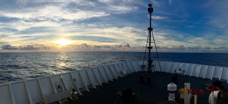
The bow of NOAA Ship Okeanos Explorer at sunrise. Image courtesy of Daniel R. Rogers. Download larger version (jpg, 366 KB).

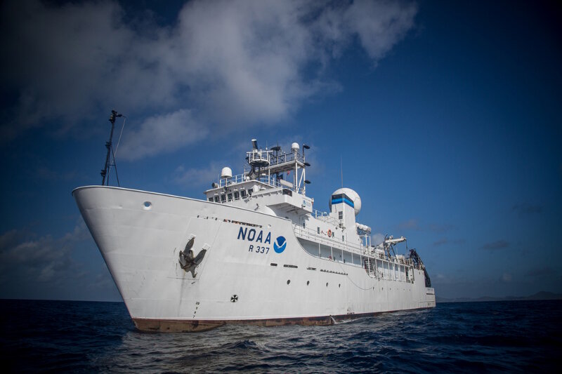
NOAA Ship Okeanos Explorer. Image courtesy of Art Howard. Download larger version (jpg, 402 KB).
The engineering team at the Global Foundation for Ocean Exploration specializes in designing, building, and operating robots that traverse the bottom of the ocean. We sail with NOAA Ship Okeanos Explorer and use sophisticated tools to visit some of the most remote and inaccessible ecosystems on the planet. Even with modern technology, however, we are still at the mercy of nature – as ocean explorers have been for thousands of years.
As we sail across the central Pacific this year, we follow in the wake of Polynesians who sailed throughout this region for thousands of years. These ancient explorers were able to navigate vast distances between Hawaii, New Zealand, and Easter Island using only their knowledge of the waves, winds, and stars. Without maps, compasses, sextants, or even a written language to record instructions, they relied on keen observation of natural elements to find their way. A modern-day master of traditional navigation from Hawaii, named Nainoa Thompson, describes the importance of being able to "read" the ocean in this way:
"Sunrise is the most important part of the day. At sunrise you start to look at the shape of the ocean – the character of the sea. You memorize where the wind is coming from. The wind generates the waves. You analyze the character of the waves. If you can read the ocean you will never be lost."

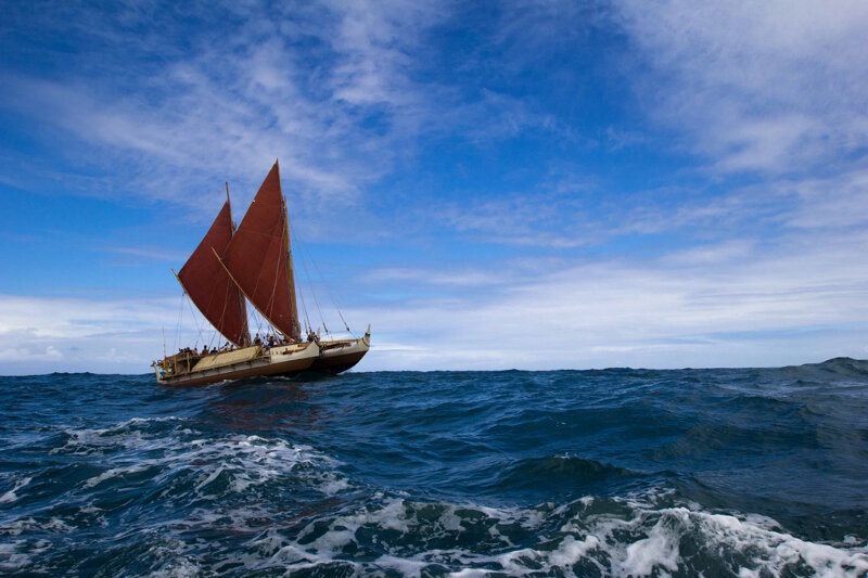
The Hawaiian canoe Hōkūleʻa, a traditional-style double-hulled vessel made out of modern materials. Image courtesy of the Polynesian Voyaging Society. Download larger version (jpg, 556 KB).
Observing the winds, waves, and currents at the beginning of the day is a critical component of traditional navigation. Sunrise is also an important time for us when we are exploring the deep ocean. Our engineering team starts the day by meeting with the ship’s crew on the bridge at 6:00 AM. Together, we observe these forces to determine if surface conditions are suitable to safely launch, operate, and recover the robots. Our goal is to orient the ship in a way that balances a steady ride with the ability to control position.
We pay close attention to swell direction and typically face into incoming waves during launch and recovery to minimize the "rolling" of the ship (rocking side-to-side). This helps to limit swinging motion as the vehicles are lifted into and out of the water. We are less compromised by "pitching" (rocking forward-to-back) because of the geometry of the ship and configuration of the machinery. However, excessive motion of any kind can be dangerous for both the equipment and the deck crew.
The robots are always attached to the ship by an eight-kilometer (five-mile) long cable that provides power, video, and control of the vehicles. When the vehicles are down exploring the ocean floor, the ship must be oriented in such a way that it can hold position and effectively thrust against forces applied by the winds, waves, and currents at the surface. Otherwise, the robots could be at risk of getting dragged into the side of an underwater mountain if the ship were to be pushed off course.
If the waves are too large or the winds and currents are too strong for the ship to hold position, we can make the call at sunrise to postpone launching the robots until conditions improve. Even our modern machinery is no match for the powerful forces of the ocean.

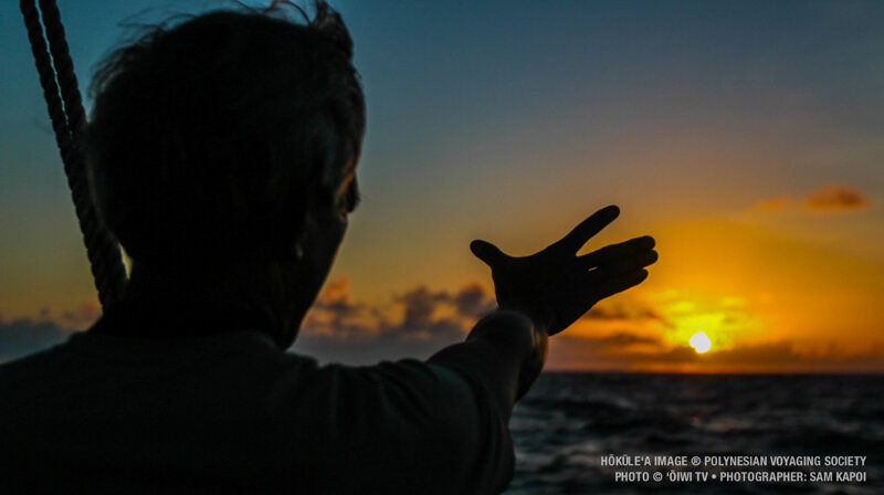
Nainoa Thompson using traditional navigation techniques aboard Hōkūleʻa. Image courtesy of the Polynesian Voyaging Society. Download larger version (jpg, 258 KB).
The ancient Polynesians relied on the stars and used advanced celestial navigation techniques to find their way around the Pacific. In a way, we still look toward the sky to navigate. Dozens of GPS satellites guide us through some of the most remote areas in the Pacific where there are few other reference points. Objects in the sky are really the only thing that can keep you on a steady course as the water, air, and clouds all seem to move around you.
Though we use different tools and perhaps travel for different reasons, there are things that I'm sure we have in common with the Polynesian explorers of the past; the desire to learn more about our world, map unexplored places, and find out what lies just beyond the horizon.