
By Heidi Hirsh, Natural Resources Management Specialist - NOAA Fisheries Service, Marine National Monuments Program
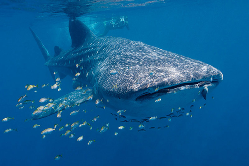
Whale shark in the Ningaloo Marine Park near Exmouth. Image courtesy of Australian Commonwealth Marine Reserve Network. Download larger version (jpg, 212 KB).
Managing a large-scale marine protected area, or MPA, is no simple feat. In many cases, these MPAs are hundreds of thousands of square kilometers and located in remote areas. This makes it difficult not only to conduct species assessments and monitoring, but also to ensure resources are being protected. In December of 2010, site managers from the world’s largest MPAs met to talk about these challenges. As a result, they launched Big Ocean, a "network of the world’s largest marine managed areas."
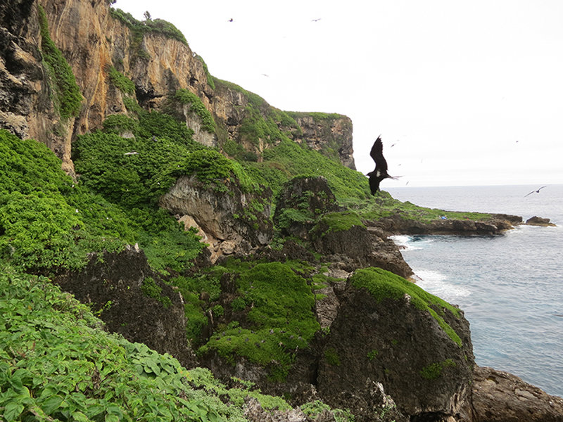
Le Parc Naturel De La Mer De Corail (Natural Park of The Coral Sea), France. Image courtesy of NOAA. Download larger version (jpg, 663 KB).
Representatives from the Papahānaumokuākea Marine National Monument and World Heritage Site in Hawaiʻi, as well as the Phoenix Islands Protected Area and World Heritage Site in Kiribati, co-convened the first meeting. Other large MPA managers in attendance included representatives from the Marianas Trench Marine National Monument in the Commonwealth of Northern Mariana Islands, Australia’s Great Barrier Reef Marine Park Authority , Chagos Marine Protected Area in the United Kingdom, and Chile’s newly authorized Motu Motiro Hiva Marine Park . The managers agreed that Big Ocean should be a learning resource and a supportive peer network that includes new or proposed large-scale marine managed areas, or areas that approach or exceed 250,000 square kilometers (100,000 square miles).
Just seven years ago, when the first meeting took place, large-scale MPAs were a relatively new tool for ocean conservation. The “best practices” for managing such vast tracks of remote ocean was — and remains — largely unknown. The Big Ocean attendees discussed numerous topics regarding MPAs. These included primary threats (such as sea level and temperature rise), enforcement, control of invasive species, ocean acidification, exploration and research, and social and cultural activities.
The meeting’s objectives were straightforward: create a network to help managers of large-scale marine managed areas be more efficient and effective by sharing practical experience and knowledge with each other; agree on a proposed set of aims and activities for the network; and develop a shared statement of commitment to the Big Ocean network. The Big Ocean network is built upon a strong foundation of shared experience and viewpoints, all of which and much more is available on the website .
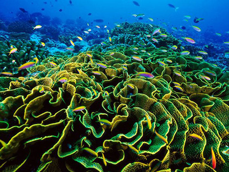
Phoenix Islands Protected Area and World Heritage Site, Kiribati. Image courtesy of NOAA. Download image (jpg, 185 KB).
The members have been meeting annually since 2010, with representatives from new MPA sites joining nearly every year. Typically, meetings are in conjunction with international conservation and ocean-based congresses. These meetings start with updates on new activities and lessons learned from the members. The meetings have a flexible format to include guest presenters and real-time demonstrations or other participatory activities that provide immediate, concrete benefits to the members.
In the last seven years, Big Ocean members and partners have accomplished many impressive and valuable initiatives:
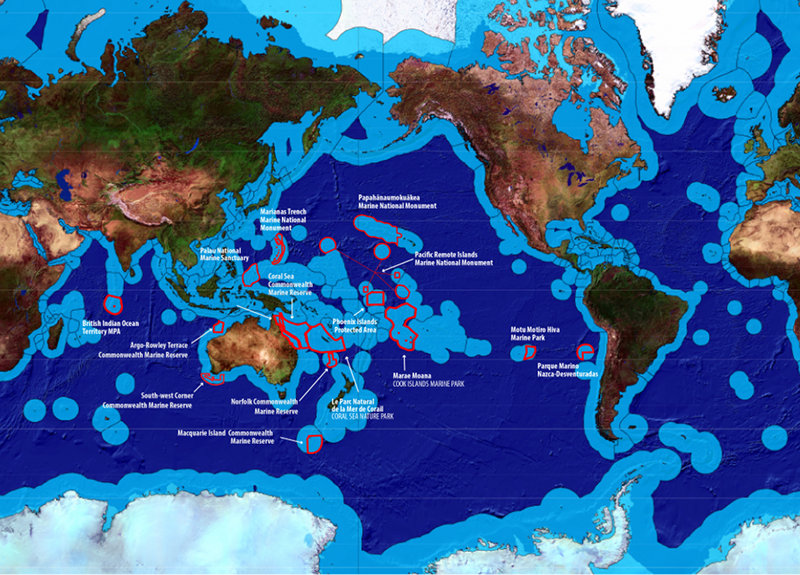
Members of the Big Ocean network. Image courtesy of Big Ocean. Download larger version (jpg, 7.3 MB).
These interactions, shared experiences, and collaborations to identify management tools and guidelines are invaluable for MPA managers. When Big Ocean was created in 2010, it included six large-scale MPAs. Since then, 11 more large-scale MPAs have joined. Kermadec Ocean Sanctuary is the newest addition; it is located about 1,000 kilometers northeast of New Zealand.
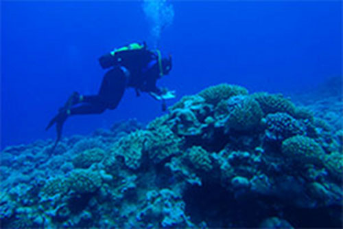
Marae Moana, Cook Islands Marine Park. Image courtesy of Cook Islands Marine Park. Download image (jpg, 33 KB).
The Cook Islands Marine Park, Marae Moana , was the seventh member site to join Big Ocean. Since more than 99 percent of their home is ocean, the Cook Islands government and traditional leaders recognize that healthy waters equal healthy people and stable livelihoods. In 2012, the Cook Islands government, traditional Maori leaders, and local communities established the Cook Islands Marine Park. The park will protect 1.1 million square kilometers (425,000 square miles) of the southern half of the country’s Economic Exclusive Zone (sea area over which a governing state has rights over the use of its marine resources). This includes a remote atoll, high volcanic islands surrounded by fringing reefs, and native fauna associated with underwater mountains.
We are excited about the expedition, to see and learn about the South Pacific marine life that may appear in the lens of the Deep Discoverer.