By Kasey Cantwell - NOAA Office of Ocean Exploration and Research
June 5, 2015

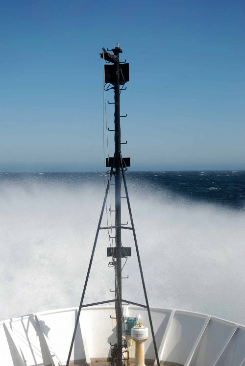
View from the bridge of NOAA Ship Okeanos Explorer as we navigate through 15 to 20-foot seas. When we pitch into a particularly big wave, a large spray of water comes up over the bow. Image courtesy of NOAA Office of Ocean Exploration and Research. Download larger version (jpg, 547 KB).
Yesterday afternoon we departed San Francisco, California, to head towards the location of our dry dock repair period, Bellingham, Washington. In good weather, Bellingham is about a four-day steam away. However, we have not been in good weather.
Since we left San Francisco, we have been in 10 to 20-foot seas with sustained winds over 40 knots, and gusts up to 53 knots.
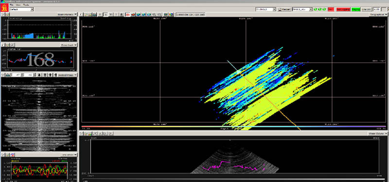
With these of conditions, NOAA Ship Okeanos Explorer is pitching, or pivoting from bow to stern, heavily making it impossible to map. Our sonars' transducers are mounted on the hull of the ship, so every time our bow comes out of the water, air bubbles entrapped in the water sweep down under the hull and over the transducers. When this happens, we get bad data as the sonars are not able to track the seafloor through all the bubble interference.

EM302 data collection screen. In 15-20 ft seas, like those we are in on our way to Bellingham, the system struggles to track bottom. Image courtesy of NOAA Office of Ocean Exploration and Research, Tropical Exploration 2015. Download larger version (jpg, 323 KB).