The essays below will help you to understand the goals and objectives of the mission and provide additional context and information about the places being explored and the science, tools, and technologies being used.

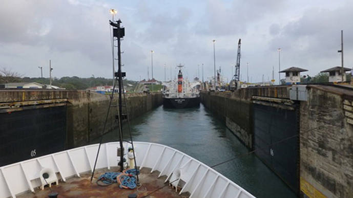
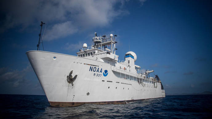
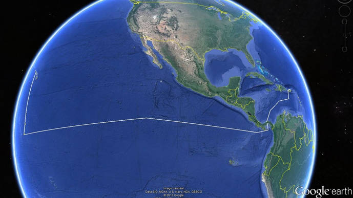
From May 8 to June 12, NOAA Ship Okeanos Explorer will journey from the Atlantic Ocean to the Pacific Ocean, exploring along the way. After her latest expedition in the Caribbean, Okeanos Explorer will leave port in San Juan, Puerto Rico, in order to traverse the Western Caribbean, Panama Canal, and Eastern Pacific.
Read more