Coral
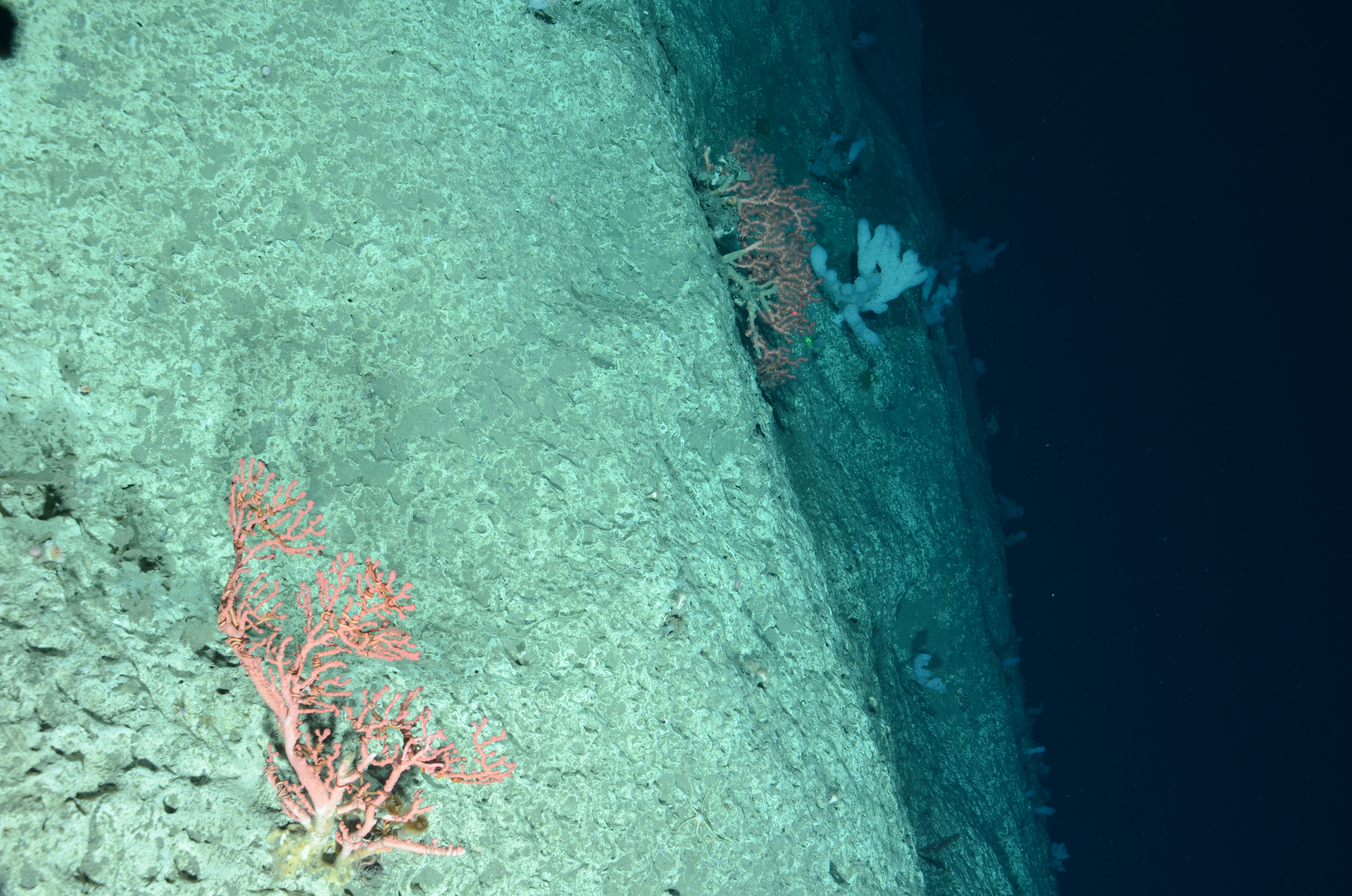
Scientists on the NOAA Ship Henry B. Bigelow used a towed camera system to ground-truth areas previously mapped by NOAA Ships Okeanos Explorer and Ferdinand R. Hassler. The camera imaged this deep-sea coral, Paragorgia arborea, on the edge of Hendrickson Canyon (ca. 1,775 meters) in the Toms Canyon complex.
 in the Toms Canyon complex.")