By Peter Etnoyer, Ph.D., Chief Scientist, Leg 1
Daniel Wagner, Ph.D., Chief Scientist, Leg 2

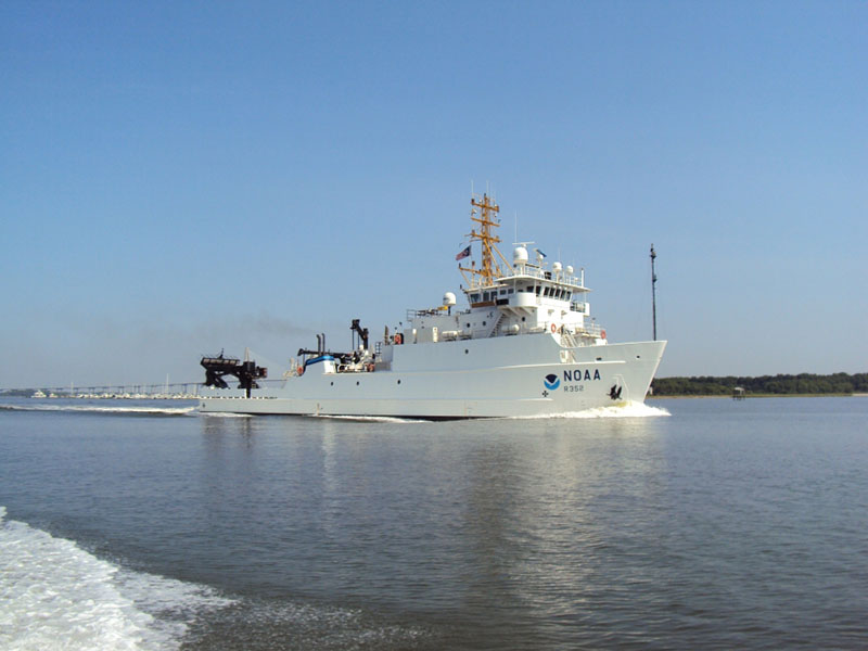
NOAA Ship Nancy Foster, which will support the 18-day mission to map, survey, and sample deep-sea coral ecosystems off the Southeast United States. Image courtesy of NOAA. Download larger version (jpg, 489 KB).
In August 2017, NOAA’s National Centers for Coastal Ocean Science (NCCOS) will lead an 18-day expedition aboard NOAA Ship Nancy Foster. The purpose of the expedition will be to map, survey, and sample deep-sea coral ecosystems in the eastern Gulf of Mexico and the South Atlantic Bight, focusing on management priority areas identified by the Gulf of Mexico Fishery Management Council (GMFMC) and the South Atlantic Fishery Management Council (SAFMC). The expedition is supported by NOAA’s Deep Sea Coral Research and Technology Program through the Southeast Deep Coral Initiative (SEDCI), a multi-disciplinary effort that will study deep-sea coral ecosystems across the Southeast United States in 2016-2019.
The 2017 SEDCI expedition will consist of two separate legs with different objectives and geographic focus areas.
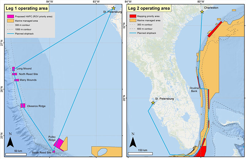
Leg 1 (August 12-24, 2017; St. Petersburg, Flordia - St. Petersburg, Florida) will survey deep-sea coral ecosystems on the West Florida Shelf using the remotely operated vehicle (ROV) Odysseus operated by Pelagic Research Services and map the seafloor using the Nancy Foster’s multibeam echosounders. ROV dives will target seafloor areas on the West Florida Shelf that have previously been mapped and are predicted to harbor high densities of deep-sea corals and sponges. Several of these target ROV sites are currently being evaluated as potential habitat areas of particular concern (HAPC) by the Gulf of Mexico Fishery Management Council, but more information is needed to evaluate these proposals. Additionally, Leg 1 will characterize the water column above deep-sea coral ecosystems using CTD (Conductivity, Temperature, Depth) casts and fisheries acoustics systems in order to understand the water chemistry and relative abundance of pelagic fishes in these environments.

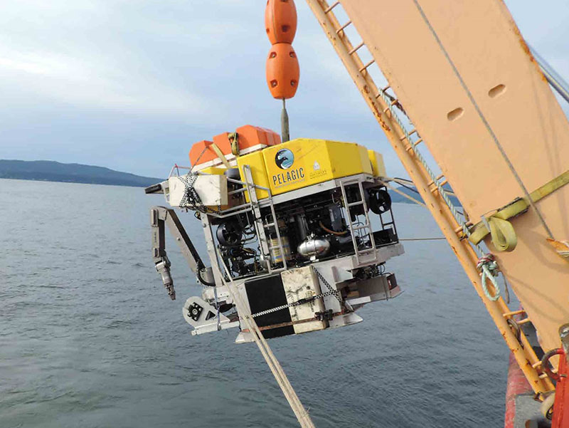
The ROV Odysseus, operated by Pelagic Research Services, will be used to survey seafloor areas on the West Florida Shelf that are predicted to have high densities of deep-sea corals and sponges. Image courtesy of Ed Cassano/Pelagic Research Services. Download larger version (jpg, 647 KB).
Leg 2 (August 27-31, 2017; St. Petersburg, Florida - Charleston, South Carolina) will focus on mapping priority areas identified the South Atlantic Fishery Management Council. These priority areas occur within existing marine managed areas in the South Atlantic Bight, particularly the Oculina Bank HAPC, and will thereby support management efforts of deepwater ecosystems in the region.

Map showing the operational area of the 2017 SEDCI expedition aboard NOAA Ship Nancy Foster, which will consist of two legs with different focus areas. Image courtesy of Daniel Wagner/NOAA. Download larger version (jpg, 667 KB).
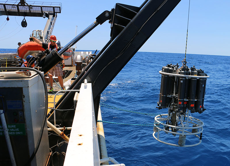
In addition to ROV surveys and mapping operations, the 2017 SEDCI expedition will also collect environmental data and water samples on both legs of the expedition. These data and samples will be collected using the Nancy Foster’s CTD Niskin bottle carousel and will help characterize the physical environments that deep-sea corals occur in across the Southeast Region. This information is critical to understanding how deep-sea corals might respond to changing environmental conditions in the future.

The CTD Niskin bottle carousel of NOAA Ship Nancy Foster will be used to collect environmental data and water samples for studies on seawater carbonate chemistry. Image courtesy of David Hall/NOAA. Download larger version (jpg, 6.4 MB).
Complementing its scientific objectives, the 2017 SEDCI expedition will also focus on education and outreach. Graduate students from the University of South Florida, Texas A&M University, Florida A&M University, the College of Charleston, and Nelson Mandela University will participate in the expedition, and thereby obtain valuable hands-on experience with conducting original research in the field. Finally, the expedition will also include the participation of a professional videographer, who will produce highlight videos for education and outreach.