
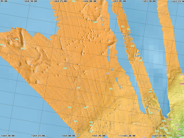
This is a 2003 multibeam bathymetric (water depth) map of the pockmark site. Image courtesy of The Hidden Ocean, Arctic 2005 Exploration, NOAA-OE.
Related Links

This is a 2003 multibeam bathymetric (water depth) map of the pockmark site. Image courtesy of The Hidden Ocean, Arctic 2005 Exploration, NOAA-OE.
Related Links