
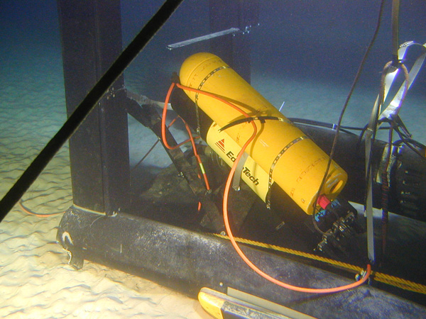
Figure 1. The laser line scanner on the sea floor off Maui, showing the position of the side scan sonar system. Image courtesy of Operation Laser Line 2006.

Figure 1. The laser line scanner on the sea floor off Maui, showing the position of the side scan sonar system. Image courtesy of Operation Laser Line 2006.