
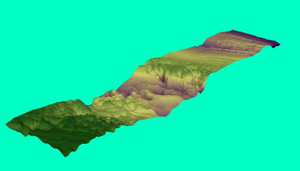
A topographic representation of the sea floor around the Charleston Bump. The data used to generate the image was collected by the NOAA Ship Whiting. Image courtesy of Phil Weinbach.
Related Links
Investigating the Charleston Bump Exploration

A topographic representation of the sea floor around the Charleston Bump. The data used to generate the image was collected by the NOAA Ship Whiting. Image courtesy of Phil Weinbach.
Investigating the Charleston Bump Exploration