

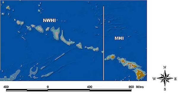
A shaded relief image of the Main (MHI) and Northwestern (NWHI) Hawaiian Islands. The data comprising this image are a compilation of various bathymetric and topographic datasets. The lighter colors represent shallower water. The brownish color delineates emergent land areas.