

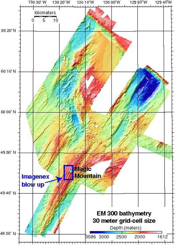
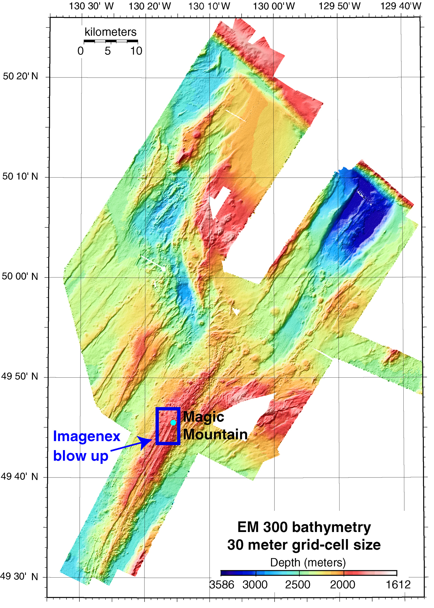
EM300 multibeam bathymetry collected at Explorer Ridge during the first leg of the Ring of Fire expedition. The resolution of the data is 30 meters. The blue box shows the area mapped at higher resolution with the Imagenex sonar mounted on ABE (see Imagenex map). Image courtesy of Submarine Ring of Fire 2002, NOAA/OER.