

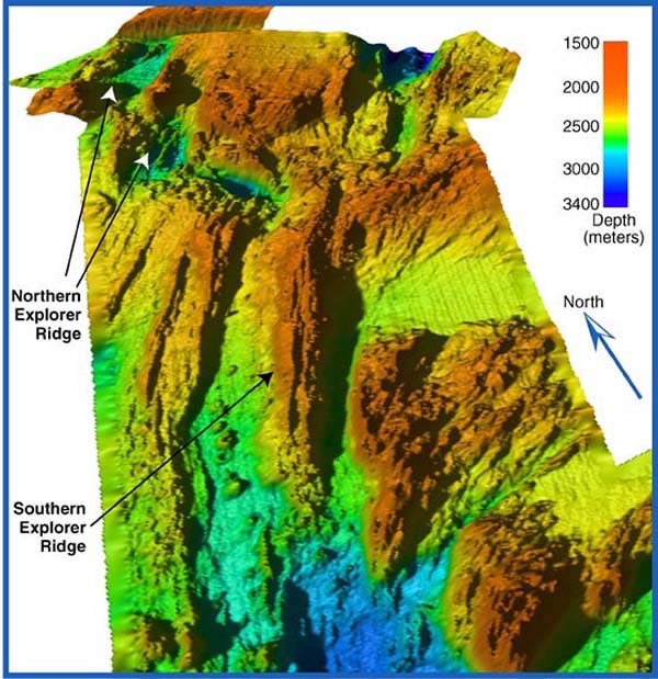
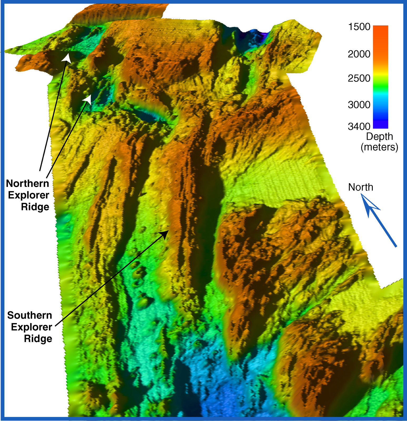
Three-dimensional image of Explorer Ridge viewed from the southwest looking northeast. The bathymetry data were gridded at 200 meter grid-cell size. Water depths range from 1500 to 3400 meters. The image is vertically exaggerated five times. The multibeam systems used for the 2002 Explorer Ridge survey will map a portion of this area to less than a 5 meter grid-cell size. Image courtesy of Submarine Ring of Fire 2002, NOAA/OER.
Related Links
Submarine Ring of Fire 2002: Seafloor Mapping