
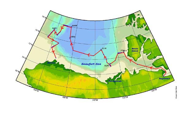
The red line indicates the projected cruise path for the CCGS Louis St. Laurier. The blue dots with circles around them depict the areas projected to include ROV operations. Image courtesy of Arctic Exploration 2002, NOAA/OER.

The red line indicates the projected cruise path for the CCGS Louis St. Laurier. The blue dots with circles around them depict the areas projected to include ROV operations. Image courtesy of Arctic Exploration 2002, NOAA/OER.